Tamsweg matkavinkit

Salzburg

August 2011
Hochgolling is with 2.862 metres the highest summit of Schladminger Tauern and sits on border of Salzburg and Steiermark regions of Austria. This is the view from Trockenbrotscharte pass (alt. ca. 2.400 m). You can traverse over the cliff on the left and some 100 m up to Gollingscharte pass to either ascend the summit (1 hour up and 1 down) or continue the path to Gollinghuette hut descending to 1.600 m. Hochgolling rises more than 1.000 metres over its surrounding valleys. The south side of the mountain is in the photo.
Obertauern joka esittää hiihto, lunta ja vuoret
Tamsweg
Tamsweg

Suositut kaupungit kohteessa Tamsweg

Sankt Michael im Lungau
Hiihto/laskettelu, Vuoristo ja Golf
Koe hiihtomahdollisuuksistaan, vuoristaan ja vaellusmahdollisuuksistaan tunnettu Sankt Michael im Lungau!
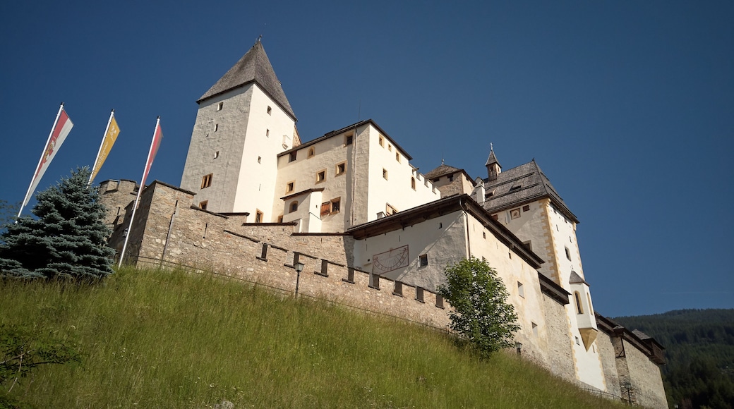
Tweng
Tweng
Ruokailu, Hiihto/laskettelu ja Ystävälliset ihmiset
Ota suunnaksi Tweng ja koe sen hiihtomahdollisuudet, seikkailut sekä ruokakulttuuri.
Mauterndorf
Mauterndorf
Hiihto/laskettelu, Seikkailu ja Historiallinen
Koe hiihtomahdollisuuksistaan, seikkailuistaan ja museoistaan tunnettu Mauterndorf!
Mariapfarr
Mariapfarr
Kylpylät ja Museot
Koe Mariapfarr ja sen kylpylät, museot sekä monet muut nähtävyydet!
Sankt Margarethen im Lungau
Kaikki hinnat on ilmoitettu valuutassa: Hiihto/laskettelu
Ota suunnaksesi hiihtomahdollisuuksistaan ja monista muista nähtävyyksistään tunnettu Sankt Margarethen im Lungau.
August 2011 
Hoher Dachstein massif, Austria

View of the massif of Hoher Dachstein from south through Preunegg pass on the way to Giglachsee lakes in Schladminger Tauern. 
Dachstein is a mighty karstic limestone range of ca. 20x30 km belonging to Northern Limestone Alps and has dozens of peaks higher than 2.500 metres. From south it has a prominence of more than 2.000 meters and descends steeply to valley of river Enns with city of Schladming. On its north side there are the most northern and most eastern glaciers of Alps. The top summit of Hoher Dachstein has altitude of 2.995 metres.
Weißpriach
Hiihto/laskettelu ja Seikkailu
Pidätkö hiihtämisestä ja seikkailuista valtavasti? Valitse seuraavaksi matkakohteeksesi Weißpriach!