
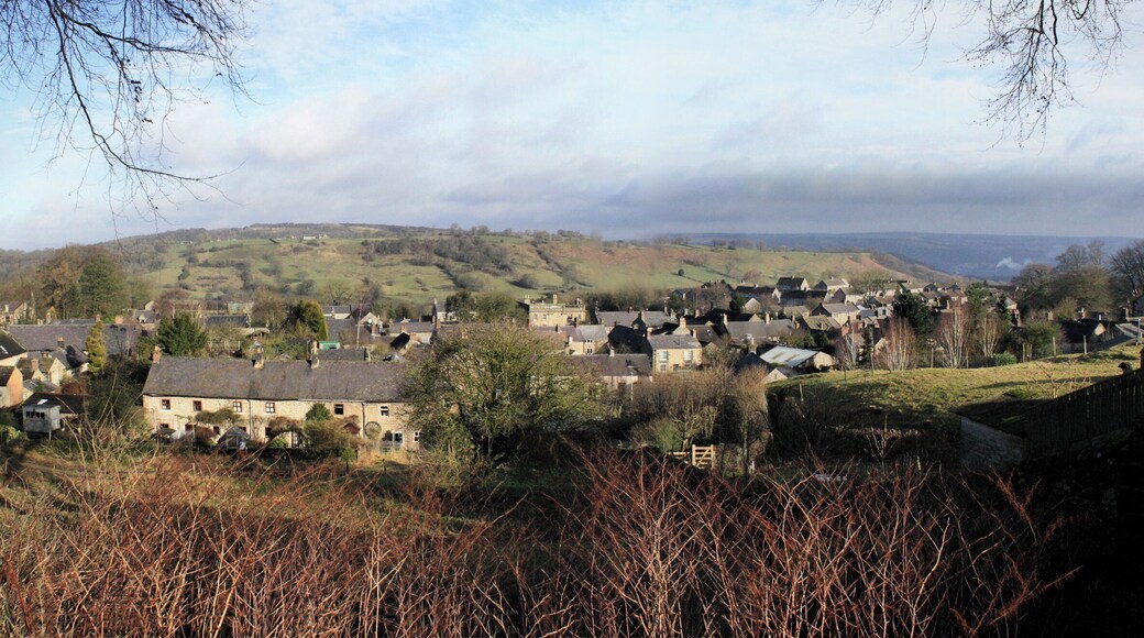
Winster: Parhaat nähtävyydet ja aktiviteetit
Aktiviteetit, nähtävyydet ja kierrokset


 Tutustu aktiviteetteihinTutustu tuhansiin kokemuksiin aktiviteeteista ja nähtävyyksistä päiväretkiin ja kuljetuksiin.
 Varaa helpostiJätä jono väliin – varaa liput suosituimpiin nähtävyyksiin verkossa muutamassa minuutissa. Monissa aktiviteeteissa on ilmainen peruutusmahdollisuus.
 Hemmottele itseäsiJäsenet säästävät vähintään % aktiviteettien varauksista.
Winster: Nähtävyydet ja vierailukohteet
Heights of Abraham Cable Car Station
Kun matkustat kohteeseen Matlock Bath, sinun kannattaa varata aikaa vieraillaksesi kohteessa Heights of Abraham Cable Car Station. Tutustu tämän viehättävyydestään tunnetun alueen kauniiseen maaseutuun ja huippuravintoloihin.

Crich Tramway Village
Kun matkustat kohteeseen Crich, voit viettää iltapäivän katselemalla näyttelyitä kohteessa Crich Tramway Village. Tutustu tämän viehättävyydestään tunnetun alueen kauniiseen maaseutuun ja huippuravintoloihin.

Matlock Parks Country Park
Tutki luontoa kohteessa Matlock sijaitsevalla ihastuttavalla viheralueella Matlock Parks Country Park. Vaella tämän viehättävän alueen puutarhoissa tai tutustu sen maaseutuun.
Gulliver's Kingdom
Vie lapset kohteeseen Gulliver's Kingdom ja vietä hauska päivä tässä kohteessa Matlock Bath sijaitsevassa huvipuistossa. Tutustu tämän rentouttavasta ilmapiiristään tunnetun alueen kauniiseen maaseutuun ja eloisiin baareihin.
Cromford Mill
Voit oppia lisää kohteen Cromford paikallisesta historiasta, kun käyt piipahtamassa kohteessa Cromford Mill. Tutustu tämän rentouttavasta ilmapiiristään tunnetun alueen kauniiseen maaseutuun ja eloisiin baareihin.
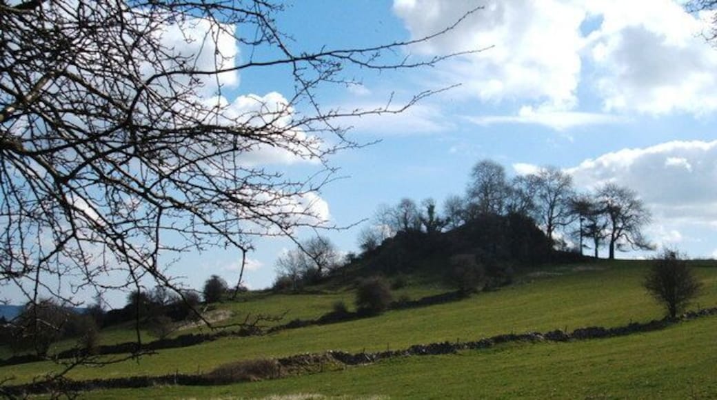
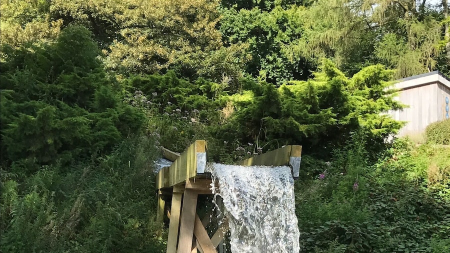
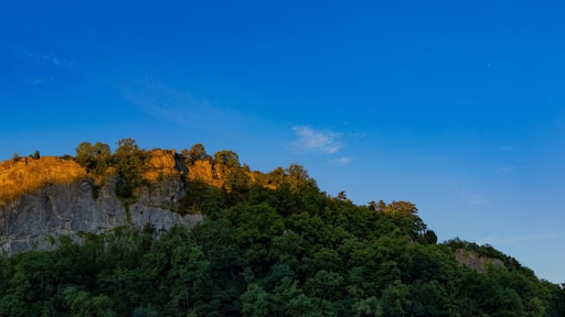
Lumsdale Valley
Tutki luontoa kohteessa Lumsdale Valley ja ihaile kaunista maaseutua matkustaessasi kohteeseen Matlock. Käy tutustumassa tämän rentouttavasta ilmapiiristään tunnetun alueen eloisiin baareihin tai huippuravintoloihin.
Peak District Mining Museum & Temple Mine
Kun vierailet kohteessa Matlock Bath, voit viettää aikaa kiertelemällä näyttelyitä kohteessa Peak District Mining Museum & Temple Mine. Tutustu tämän rentouttavasta ilmapiiristään tunnetun alueen kauniiseen maaseutuun ja eloisiin baareihin.
The Grand Pavilion, Matlock Bath
Kun vierailet kohteessa Matlock Bath, voit lähteä katsomaan esitystä kohteeseen The Grand Pavilion, Matlock Bath. Tutustu tämän rentouttavasta ilmapiiristään tunnetun alueen kauniiseen maaseutuun ja eloisiin baareihin.
Lea Gardens (puutarha)
Nauti kauniista maaseudusta ja lähde tutkimaan kohteessa Dethick sijaitsevaa ihastuttavaa viheraluetta Lea Gardens (puutarha). Käy tutustumassa tämän rentouttavasta ilmapiiristään tunnetun alueen eloisiin baareihin tai huippuravintoloihin.


